
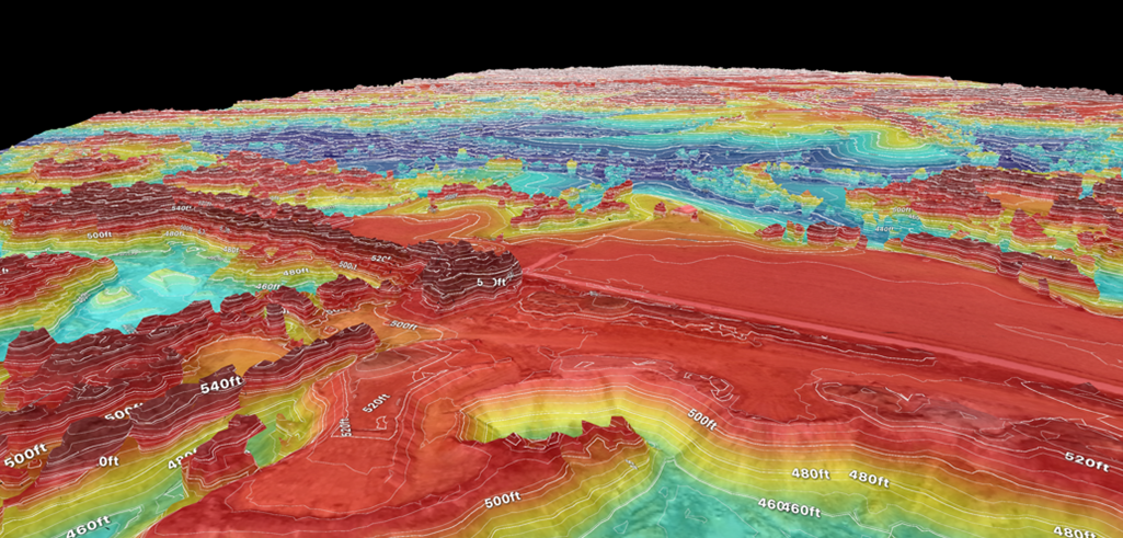
Data you can put to work.
From raw aerial data to finished mapping products, we deliver accurate geospatial data in the formats your project requires.
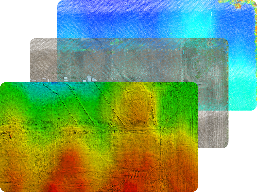
WE DELIVER…
LiDAR point clouds - LAS / LAZ
Georeferenced orthomosaics - GeoTIFF
Terrain models - DTM/DEM/DSM in LandXML (or as specified)
GIS-ready drainage maps
Linework in KML/KMZ format
3D models
Cut/fill & volumetric calculations
Custom deliverables upon request
NEED MORE THAN JUST DATA?
Our consulting and analysis services turn aerial mapping data into practical information for real-world decisions. From drainage and terrain analysis to custom mapping and project-specific solutions, we work with you to understand the site, identify what matters, and generate the information your project needs.