
agriculture
what we provide
-
Crop imaging
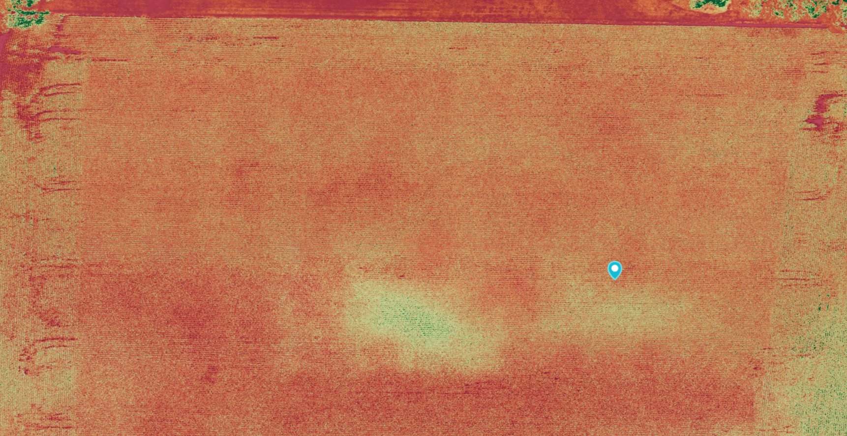
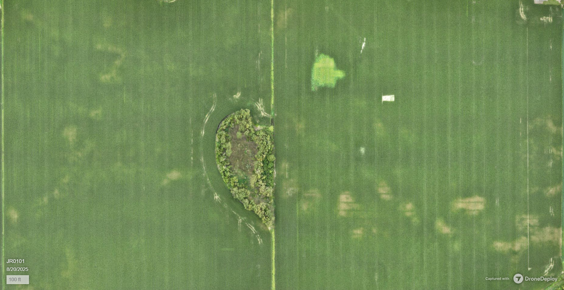
Throughout the growing season, we will periodically fly your fields to collect high accuracy photogrammetry of crops for agronomic decision-making. It is important to have easy access and quick turnaround on this data, or else your decisions may be too late informed. That is why we utilize cloud-based software to share access to your data, at a turnaround time of 1-2 days instead of weeks.
-
lidar collection
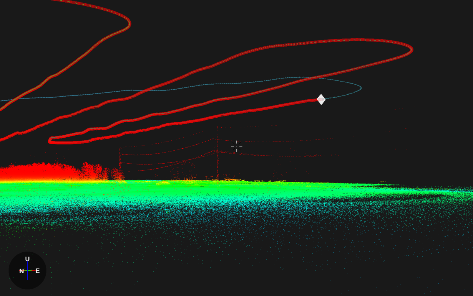
Obtain accurate, up-to-date LiDAR for your next drainage or earthworks project! Whether you are evaluating complex waterways and need accurate cut/fill or volumetric calculations or simply looking for LAS data to generate drainage maps, we can get you the data you need.
Traditional methods of topo collection, including rovers, can take increase lead time in project planning, especially if field conditions are unfavorable (vegetation or muddy, for example). With UAV LiDAR collection, we can save you the trip across the field with your rover while and provide you real-life elevation data.
-
Drainage mapping
Receive GIS-ready drainage maps of existing drain tile systems in your field.
Looking to install drain tile? Contact us for drainage system design.
Wedge project
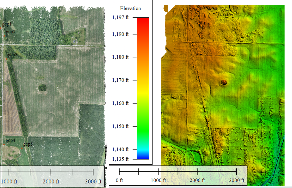
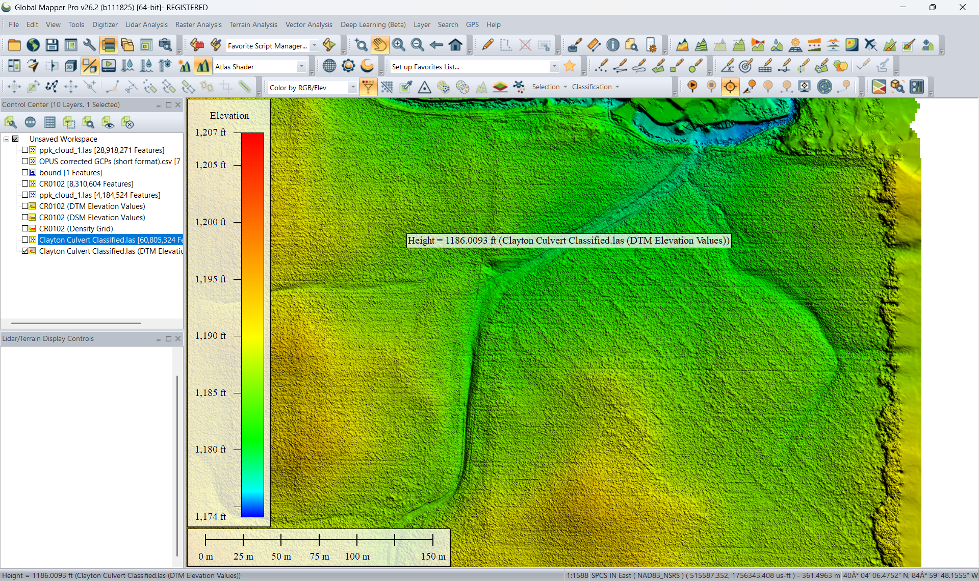
The client was planning a subsurface drain tile system to be installed for a landowner. The field was surrounded by tough infrastructure, a railroad bed to the east and a county road to the west, and existing elevation data indicated the outlet was not going to be easy to find. Not to mention, dense vegetation in the railroad bed and the standing crops in the fields adjacent to this one prevented us from investigating them easily.
Using our WingtraRAY LiDAR payload, we were able to perform a LiDAR acquisition on the field and accurately see the terrain beneath the vegetation and the field around it. We were essentially able to see through the vegetation and provide the client with the best solution for the drainage system’s outlet in this situation. What’s more, it was largely all completed from the air, and no lengthy driving topo survey was required.
Client
Retter Drainage
Date
07/09/2026