
Construction
what we provide
-
Cut/Fill Analysis
-
Stockpile Measurement
-
Topo Verification
civil topo check
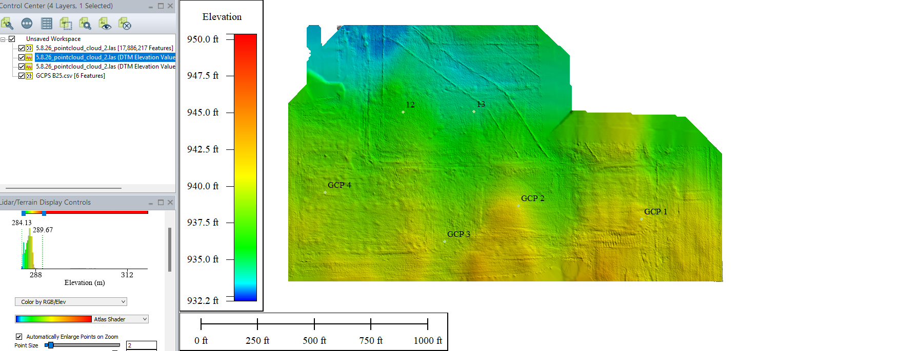
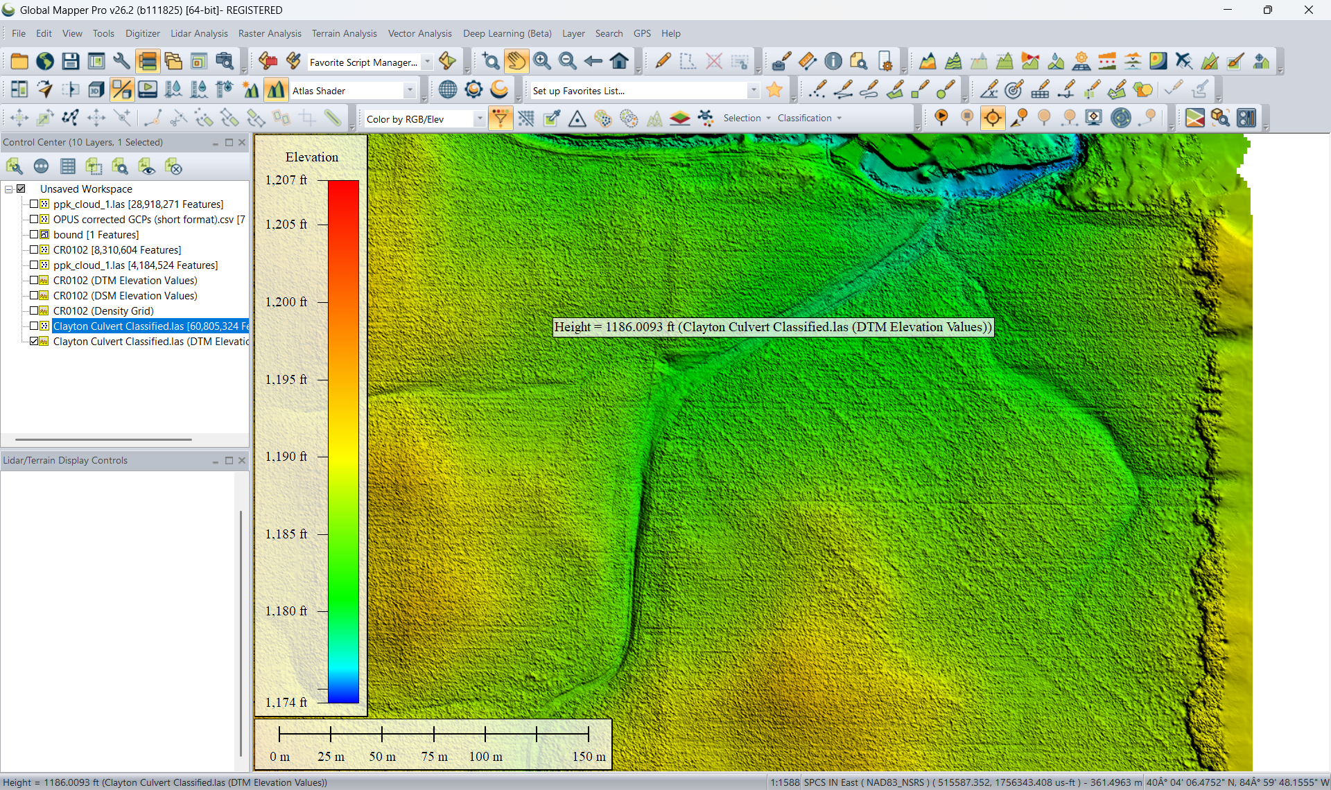
The client was grading a several hundred-acre civil site for a construction project and needed to verify actual grade against the plans. To complicate matters, muddy site conditions combined with small windows in construction sequencing made manual methods (such as rolling topos) less practical for the client.
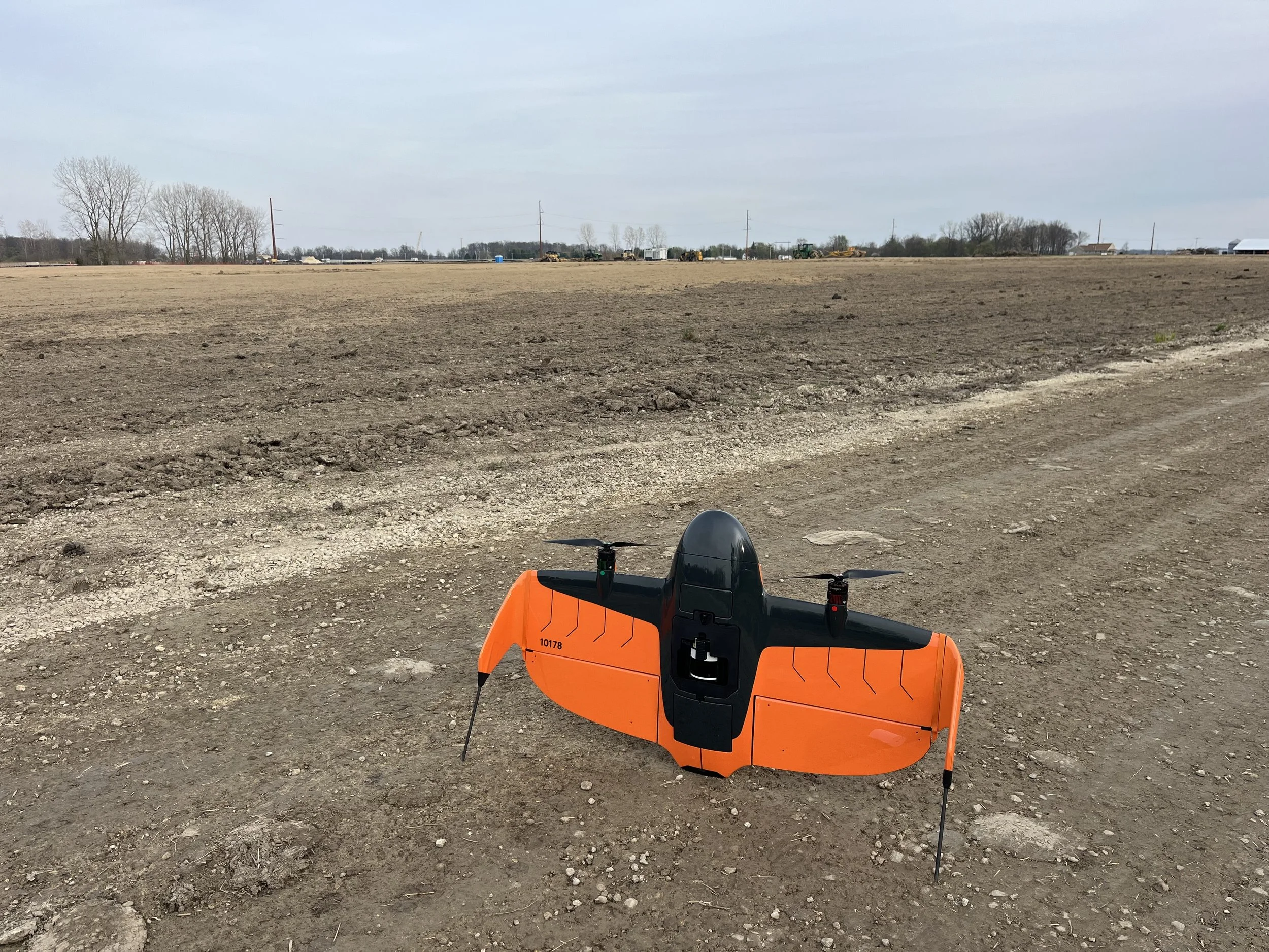
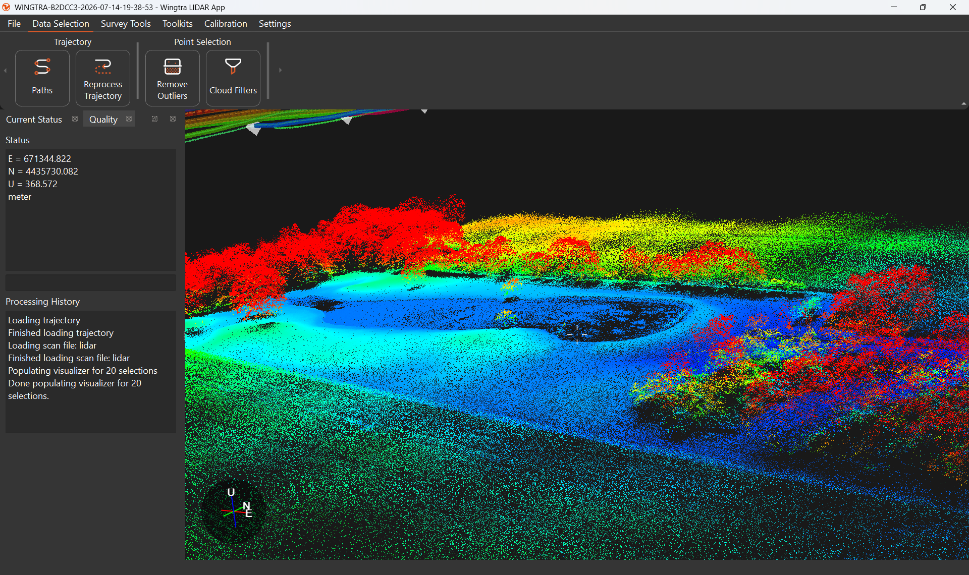
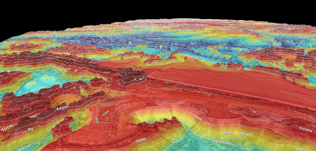
Utilizing the aerial LiDAR unit on our WingtraRAY, we were able to capture a highly accurate terrain map of their civil site within minutes! This map was used to verify actual grade against the prints using ground control and ground truthing, in coordination with their on-site crew. The turnaround on these deliverables was rapid- a couple of days instead of weeks.